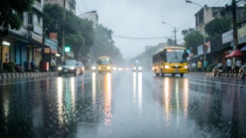
IMD Forecasts Rain in Bengaluru as Waterlogging and Traffic Jams Hit City
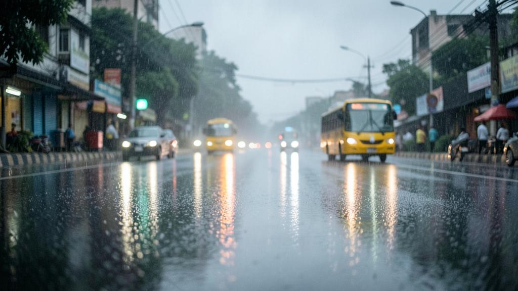
The India Meteorological Department (IMD) has forecast persistent rain over Bengaluru for the next two days, following widespread waterlogging and severe traffic congestion across key arterial roads. The latest spell of Bangalore weather brings generally cloudy skies, heavy rainfall, and thundershowers accompanied by gusty winds, as active weather systems push precipitation across southern Karnataka.
Disruptions from the current weather system have hit commuter routes across the urban district, prompting weather officials to issue a yellow alert for several parts of the state. With Bangalore weather shifting rapidly between intense rain showers and warm spells, public infrastructure in low-lying areas faces recurring strain during peak travel hours.
Heavy rain alert and traffic jams across the city
The IMD issued heavy rain warnings as cloud cover built up over the region, expecting moderate to heavy showers to continue through the weekend. Traffic police reported major choke points in low-lying corridors where rainwater collected rapidly, slowing down vehicle movement across major junctions.
While North Interior Karnataka received no severe weather warnings, the meteorological department placed coastal areas and the Malnad region under a yellow alert until November 6. Earlier weather cycles saw interior Karnataka districts kept under yellow alerts through September 14 as localized thundershowers intensified.
Air quality in the city showed noticeable improvement during wet spells. On September 12, environmental monitoring recorded an AQI of 68, with fine particulate matter (PM2.5) dropping to 18 µg/m³ while daily temperatures hovered between 22°C and 28°C.
Flash flood risk from Cyclone Montha and coastal storms
Severe weather risks reached heightened levels during the approach of Cyclone Montha, which intensified ahead of its landfall on October 28 with sustained wind speeds of 90 to 100 kmph along coastal regions. The storm system heightened flash flood risks across both Bengaluru Urban and Bengaluru Rural districts, prompting monitoring of low-lying areas and drainage channels.
The state has seen intense monsoon activity earlier in the season as well, marked by an early monsoon arrival that triggered red alerts in hard-hit zones. During those spells, heavy thundershowers were accompanied by strong gusty winds that uprooted trees and disrupted local power lines.
Temperature swings from 35.7°C to early winter chills
Alongside heavy precipitation, Bengaluru has experienced notable temperature variations across different months. During May, the city recorded daytime temperatures reaching a high of 35.7°C during a warm spell, before patchy showers brought cooler conditions heading into the weekend.
Transition periods also brought erratic thermal patterns. On October 2, the morning began warm at 22.42°C. By December 16, daily temperatures dropped significantly, with forecasted minimum and maximum levels ranging between 14.91°C and 25.37°C, alongside relative humidity levels recorded at 39%.
An unseasonal cold snap later gripped the city, sending minimum temperatures plummeting and sparking a wave of reactions from residents experiencing an early winter bite. The IMD expects moderate showers and cloud cover to keep daytime temperatures lower over the coming days.
Based on reports from
- IMD forecasts rain in Bengaluru over next two days, traffic congestion and waterlogging reported — Deccan Herald
- Yellow alert for heavy rain issued for parts of Karnataka | No warning issued for North Interior K'taka — Inshorts
- Heavy rainfall expected: Yellow alert issued for Karnataka's coastal, Malnad regions until November 6 — Vartha Bharati
About The Author