
Bay of Bengal Low-Pressure System Sets Up Heavy Rains Across South India
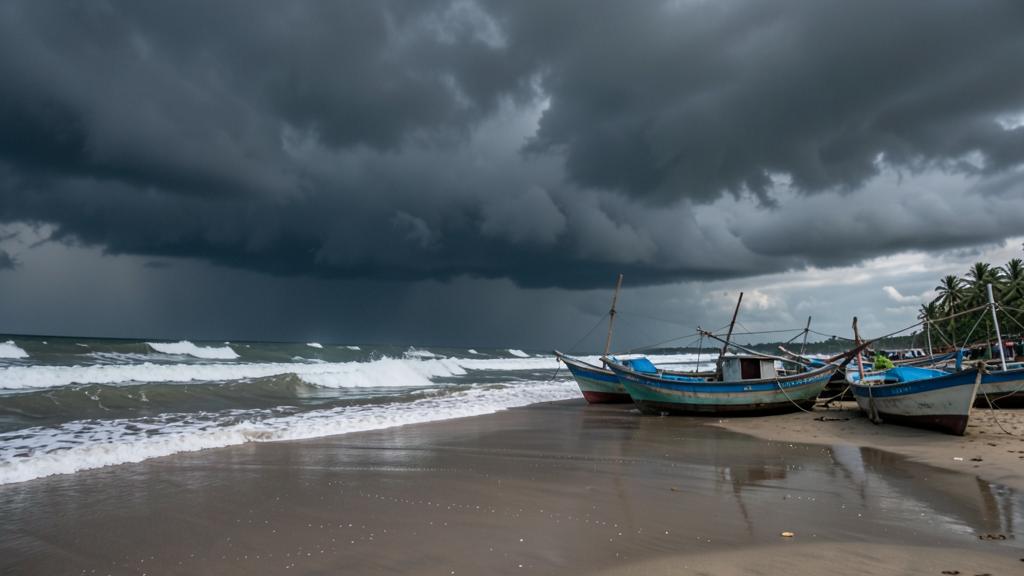
A fresh low-pressure area formed over the southeast Bay of Bengal on November 13 and is expected to intensify into a depression by November 15, according to the India Meteorological Department. The developing system is set to bring widespread rainfall to Kerala, Tamil Nadu, and coastal Andhra Pradesh over the next four days while easing seasonal rain deficits across southern districts.
- A low-pressure area over the southeast Bay of Bengal is forecasted to turn into a depression by November 15.
- Tamil Nadu issued an urgent safety warning urging fishermen to return to shore by the night of November 12.
- The system brings heavy rain to Tamil Nadu, Kerala, and Andhra Pradesh, while Odisha is expected to remain dry for six days.
The low-pressure area is currently generating squally weather and strong winds across central and southern parts of the Bay of Bengal, as well as the adjoining Andaman and Nicobar Islands. Meteorological officials at Amaravati confirmed that the weather system will continue moving in a west-northwesterly direction towards the Indian peninsula as it strengthens over the weekend.
Safety advisories and coastal alerts
State authorities have stepped up precautionary measures along the eastern coastline. The Tamil Nadu Department of Fisheries and Fishermen Welfare issued an urgent safety advisory instructing all deep-sea fishermen to return to land by the night of November 12 to avoid rough sea conditions. Squally winds and rough sea conditions are expected to persist through the middle of the month.
Heavy rainfall warnings have been extended to several key districts in Tamil Nadu, including Chennai. Officials state that the impending downpours are likely to reduce the ongoing rainfall deficit in the region after a slow start to the monsoon period.
Cyclone fears for Andhra Pradesh
Weather trackers indicate the system could potentially develop further into Cyclone Aquan as it approaches the coast, putting emergency services in Andhra Pradesh and Tamil Nadu on high alert. Down To Earth reported that if the system reaches cyclonic intensity, it would mark the third cyclone threat to head towards Andhra Pradesh in less than a month.
Coastal belts in Andhra Pradesh are preparing for severe weather and heavy isolated rainfall starting this week as the system nears the shore.
Southern rains and Odisha’s clear skies
Kerala is bracing for a fresh four-day spell of widespread rainfall as the low-pressure system pushes moisture inland across the peninsula. Local authorities across southern districts have been alerted to handle potential waterlogging and heavy runoff.
The system will not bring wet weather everywhere along the eastern sea border. The IMD forecast noted that Odisha will remain largely unaffected by the low-pressure system. The state is expected to experience dry weather for six straight days, alongside steady minimum temperatures and a slight cooling trend during nighttime hours.
Shift from earlier Andaman Sea systems
The latest weather build-up follows earlier atmospheric disturbances recorded across the region over recent weeks. In late October, a well-marked low-pressure system over the South Andaman Sea moved west-northwestward toward the Andhra coast, intensifying into a depression by November 2. An earlier low-pressure area that formed over the Bay of Bengal on October 20 had similarly triggered heavy rain spells in Chennai and surrounding districts.
With the current system strengthening over the southeast Bay of Bengal, weather officials are monitoring its central wind speeds to confirm whether it reaches full depression status by November 15.
Sources
About The Author