Maharashtra Weather Update: IMD Warning Issued as Major Arabian Sea Storm and Bay of Bengal Low-Pressure System Develop
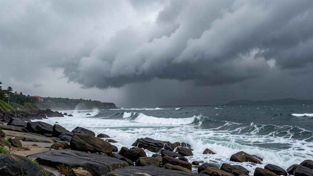
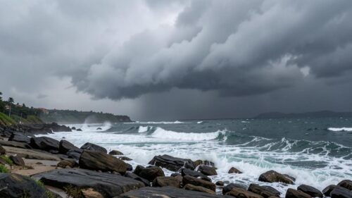
- The IMD issued a critical alert warning of an extremely dangerous 24-hour period for Maharashtra due to a major storm in the Arabian Sea.
- A simultaneous low-pressure system in the Bay of Bengal is affecting weather conditions across Western India.
- Rain accompanied by lightning is forecasted for Ratnagiri, Sindhudurg, Satara, and Kolhapur, while North Konkan faces hot and humid weather.
The latest Maharashtra weather update indicates that the India Meteorological Department (IMD) has issued a critical warning for the state, highlighting an extremely high-risk 24-hour period due to a major storm developing in the Arabian Sea. Simultaneously, a low-pressure system forming in the Bay of Bengal is influencing weather patterns across Western India. According to official forecasts, districts including Ratnagiri, Sindhudurg, Satara, and Kolhapur are expected to witness rain accompanied by lightning, while North Konkan faces persistent hot and humid weather conditions.
What Is the Latest IMD Weather Alert for Maharashtra?
The India Meteorological Department (IMD) has raised serious alerts regarding unstable atmospheric conditions developing over Western India. According to recent meteorological bulletins, a major storm active in the Arabian Sea has placed the state of Maharashtra on severe alert for a crucial 24-hour window. Meteorologists emphasize that rapid developments in maritime weather conditions can significantly alter land precipitation, coastal wind velocity, and regional humidity levels over brief timeframes.
Concurrently, a distinct low-pressure area has established itself over the Bay of Bengal. When major weather developments occur simultaneously in both the Arabian Sea and the Bay of Bengal, the atmospheric dynamics across continental India undergo complex structural changes. The interaction between these twin marine weather systems alters atmospheric pressure gradients and moisture trajectories, bringing dynamic, turbulent weather across both coastal and inland sectors of Maharashtra.
Which Districts Are Expecting Rain and Lightning?
Localized atmospheric forecasts highlight varied environmental conditions across different regions of Maharashtra. Specific districts situated in Southern Konkan and Western Maharashtra are marked for adverse climate disruptions, particularly severe localized rainfall paired with high lightning activity.
- Ratnagiri District: Forecasted to experience localized rain accompanied by severe lightning activity, driven by direct proximity to atmospheric moisture surges from the Arabian Sea.
- Sindhudurg District: Expected to face rain paired with thunderstorm activity and lightning, requiring increased caution among coastal communities, maritime workers, and local transport operators.
- Satara District: Positioned in the Western Ghats region, this district is forecasted to see lightning and precipitation as moist cloud masses pass over higher elevations.
- Kolhapur District: Likely to witness rain accompanied by sudden lightning strikes, driven by unstable air masses shifting from nearby atmospheric low-pressure influences.
These atmospheric instabilities bring rapid fluctuations in local daily weather patterns. Thunderstorms accompanied by lightning require local residents to monitor official advisories closely, especially during peak afternoon and evening thermal heating hours when thunderstorm activity frequently intensifies.
How Do Arabian Sea and Bay of Bengal Systems Impact Maharashtra Weather?
The simultaneous presence of meteorological activity in both the Arabian Sea and the Bay of Bengal plays a decisive role in driving weather trends across Western India. When a major storm brews in the Arabian Sea, intense circular wind patterns push vast streams of oceanic moisture inland. This maritime air directly impacts coastal regions like the Konkan belt, creating unstable atmospheric layers that trigger thunderstorms.
Meanwhile, the formation of a low-pressure zone in the Bay of Bengal influences regional pressure gradients across eastern and central India. This system pulls surrounding air masses across inland terrain, interacting with the Arabian Sea moisture flow. In North Konkan, this complex meteorological setup is projected to manifest primarily as intense heat combined with oppressive humidity levels. While southern coastal and inland districts experience rain and lightning, northern coastal belts experience stifling ambient conditions due to warm, high-moisture air trapping thermal energy near the surface.
Regional Summary of Forecasted Weather Conditions
To better understand the specific weather patterns expected across Maharashtra during this turbulent atmospheric phase, the following summary details the predicted conditions by region and district:
| Region / District | Forecasted Weather Pattern | Primary Associated Hazard |
|---|---|---|
| North Konkan | Hot and humid weather conditions | Elevated thermal discomfort and high humidity |
| Ratnagiri | Rain accompanied by severe lightning | Electrical strikes and localized downpours |
| Sindhudurg | Rain with lightning and coastal gusts | Thunderstorm activity and volatile marine conditions |
| Satara | Precipitation with lightning activity | Sudden rain showers and atmospheric electrical strikes |
| Kolhapur | Rain accompanied by lightning strikes | Localized rainfall and storm conditions |
What Safety Measures Should You Take During Lightning and Storm Alerts?
When severe weather updates announce storms and lightning hazards, following recommended safety protocols is vital to protecting lives and property. Severe atmospheric electrical activity during localized thunderstorms poses serious health risks, especially to individuals in open fields, near water bodies, or around elevated structural elements.
If you reside in or travel through highlighted districts such as Ratnagiri, Sindhudurg, Satara, or Kolhapur during active lightning alerts, observe these essential safety guidelines:
- Seek Sturdy Indoor Shelter: Immediately enter a fully enclosed building or hard-topped motor vehicle upon hearing thunder. Avoid open sheds, isolated trees, high ground, or exposed metallic structures.
- Avoid Direct Exposure to Water: Stay clear of beaches, rivers, lakes, and open drainage channels. Indoors, avoid using connected plumbing or corded electrical devices during intense electrical storms.
- Secure Loose Property: Strong wind gusts driven by offshore storm activity can easily displace lightweight outdoor objects, transforming them into dangerous falling hazards.
- Stay Updated with Official Communications: Continuously monitor real-time weather alerts released by the India Meteorological Department and local disaster authorities for safety instructions.
Understanding Meteorological Terms: Low-Pressure and Oceanic Storms
Understanding fundamental meteorological concepts helps clarify the meaning behind urgent atmospheric advisories released by regional forecast centers like the IMD. A low-pressure area develops when warm, humid surface air ascends into the atmosphere, creating a pocket of lower atmospheric pressure near the surface. Surrounding denser, higher-pressure air flows into this region, rotating and rising to form heavy cloud decks and rain bands.
When these atmospheric dynamics receive continuous energy from warm ocean surfaces, such as those present in the Arabian Sea or the Bay of Bengal, they can rapidly escalate into severe oceanic storms. Coastal geographic zones like Maharashtra are particularly sensitive to these ocean-driven changes, as strong onshore wind movements carry huge volumes of saturated air that collide with coastal mountain barriers like the Western Ghats, driving rapid cloud formation and thunderous downpours.
Sources
- Maharashtra Weather Update: उत्तर कोकणात उष्ण, दमट हवामान शक्य; रत्नागिरी, सिंधुदुर्ग, सातारा, कोल्हापूरमध्ये विजांसह पावसाचा अंदाज — Agrowon
- बंगालच्या उपसागरात कमी दाबाचे क्षेत्र; महाराष्ट्रावर काय परिणाम? — Loksatta
- अरबी समुद्रात मोठे तूफान, राज्यासाठी 24 तास अतिधोक्याची, IMD चा खळबळ उडवणारा इशारा.. — TV9 Marathi
Frequently Asked Questions
What is the latest weather alert issued for Maharashtra by the IMD?
The India Meteorological Department (IMD) has issued a high-alert warning highlighting an extremely dangerous 24-hour period for Maharashtra. This warning is triggered by a major storm brewing in the Arabian Sea alongside a concurrent low-pressure area forming in the Bay of Bengal.
Which Maharashtra districts are expected to experience rain and lightning?
According to official meteorological forecasts, the districts of Ratnagiri, Sindhudurg, Satara, and Kolhapur are expected to experience rainfall accompanied by severe lightning strikes due to active regional maritime storm systems.
What weather conditions are predicted for North Konkan?
North Konkan is forecasted to experience hot and humid weather conditions. High humidity levels combined with elevated ambient temperatures are expected to create uncomfortable conditions across the northern coastal belt.
About The Author